What do Topographic Land Surveyors do?
Topographic land surveyors use tools and techniques to create topographic surveys. There are a range of methods they use to do this, most of which are based around the fundamental principles of mathematics and physics.
In conjunction with mathematical methods, they use elaborate tools and equipment to ensure that their topographic land surveys are as accurate and precise as possible.
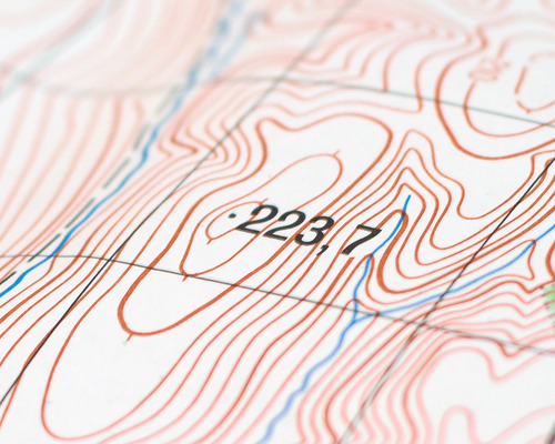
Topographic land surveyors use their tools to measure the elevation of various points across a specified piece of land. They can then plot these points onto a piece of paper to create contour lines that illustrate the shape of the land and produce a topographic land survey.
They have to be able to produce topographic land surveys to different scales and levels of detail to suit their clients’ needs. Some of the features they will include on their survey include buildings, trees, fences, surfaces, levels, roads and more.

0 Comments